
Ontario Snowbelts: Why does Horseshoe get more snow than Toronto?
No snow in Toronto?
Take a look out your apartment or office window.
Does it look something like this…?
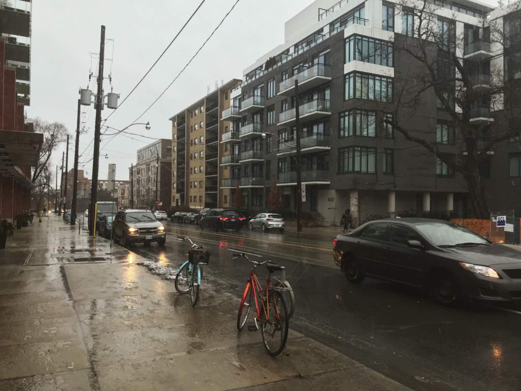
December 14th, 2019 Toronto, ON
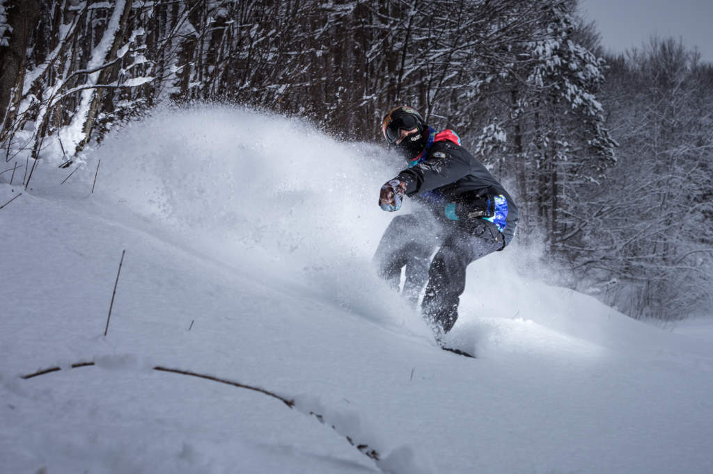
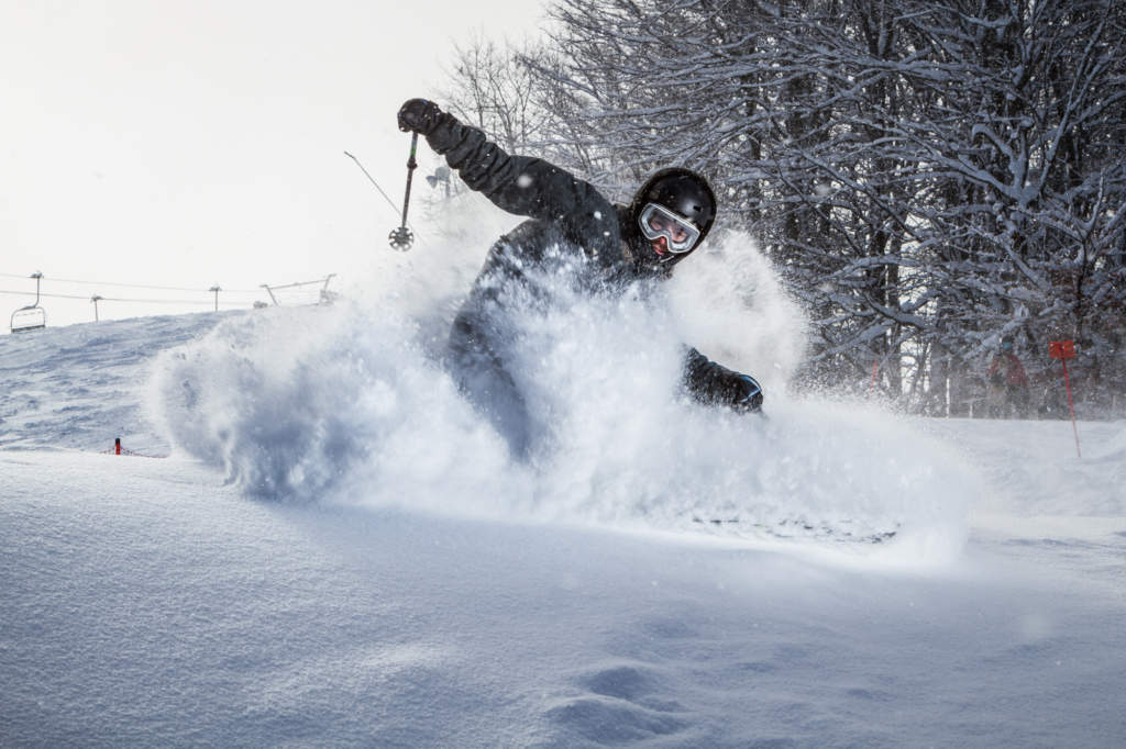
Not to worry! There is definitely snow in Horseshoe Valley, which means LOTS of skiing, snowboarding and winter fun.
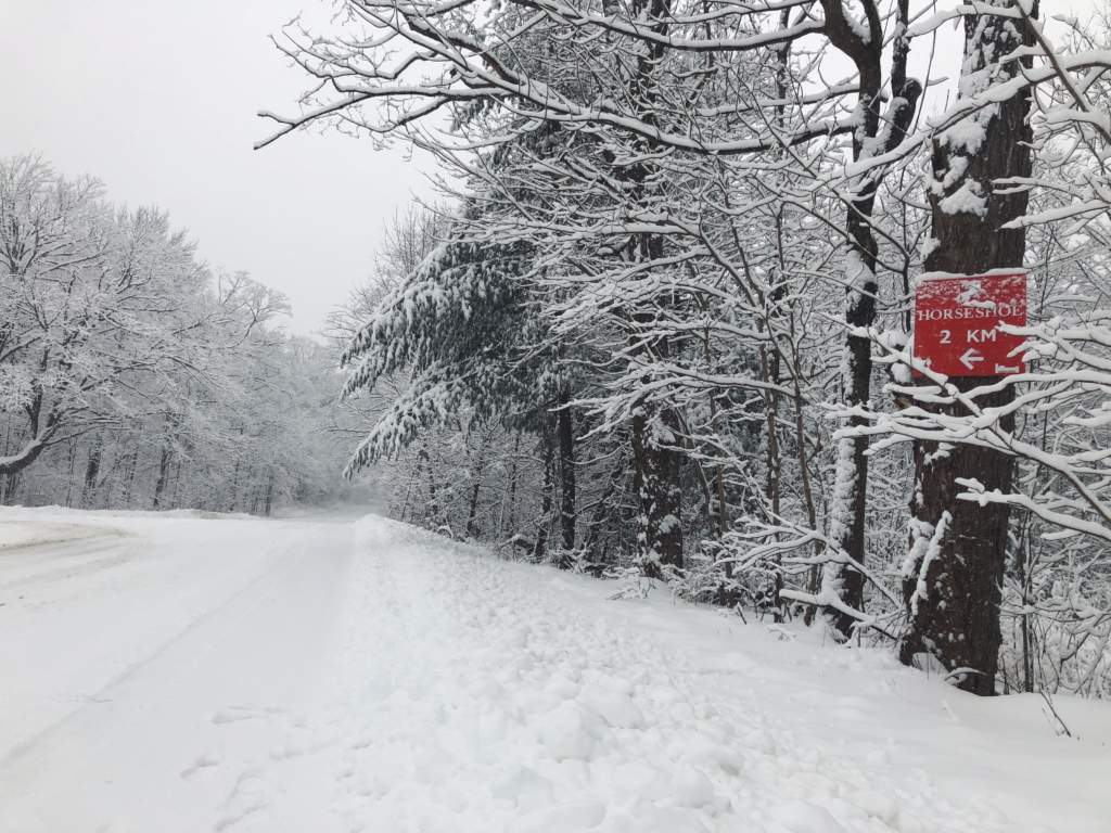
December 14th, 2019 Horseshoe Valley, ON
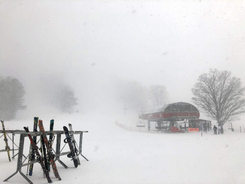
By the end of December, the Weather Network had issued multiple snow squall warnings and the kids of Horseshoe Valley and Barrie were lucky enough to score four snow days. Although this may not be an ideal start to the winter for all those parents, it does make for great skiing!
Have you ever wondered how Horseshoe Resort, located only 1 hour North of Toronto, can receive DOUBLE the amount of snow?
We’re going to break it down for you.
The Snowbelt
Horseshoe Resort is perfectly situated in what has affectionately become known as the “Barrie Snowbelt.” A snowbelt is a region that receives heavy snowfall often as a result of lake-effect snow. This can create blizzard-like conditions where we accumulate several centimeters of snow per hour!
Thanks to the Great Lakes, Ontario has two snowbelt areas which can extend 100km+ from the lake. Horseshoe Resort falls on the Southern edge of the snow belt generated from Georgian Bay on Lake Huron. Toronto, as you can see in the snowbelt map below, is too far away from Lake Huron to be in the snowbelt. It also does not get the same lake-effect benefits from Lake Ontario being located on the Southern side.
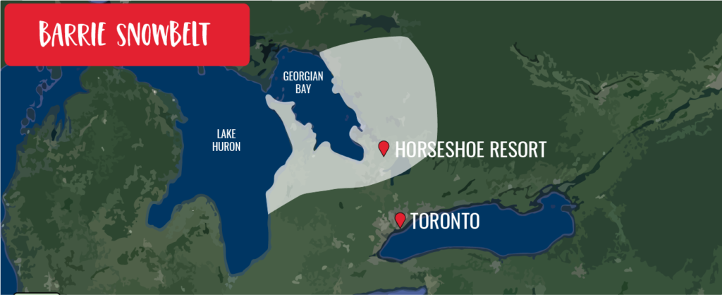
Map of the Ontario snowbelt generated from Georgian Bay and Lake Huron
What is Lake-Effect Snow?
Have you ever noticed that when you jump in the lake in May the water feels much colder than it does in August? That’s because all summer the lakes gradually warm up with the sun’s energy. Water loses heat at a much slower rate than air. This allows the lakes to retain heat heading into the fall and winter months.
Typically by November, the temperature of the air is significantly colder than the lakes. At this time, it’s also common to start getting cold air masses blowing in from the North. When these cold, winter winds blow directly across a warm body of water, the temperature difference between the air and the water kicks off the production of lake effect snow!
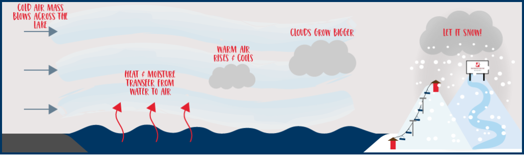
Diagram of how lake-effect snow is formed
The lake warms the bottom layer of the cold air mass as moisture from the lake evaporates into the air. The air, in the now warm, moist bottom layer, is the least dense and begins to rise as it continues moving across the lake. While the air rises, it forms clouds as it cools and condenses. These clouds grow bigger and bigger, becoming ready to dump snow on the land downwind of the lake (aka the snowbelt).
The result?
POWDER DAY!
Lake-effect snow can form in very narrow bands, making wind direction a crucial factor. One person can be driving through whiteout conditions while another person, only a few kilometers away, is searching their car console for a pair of sunglasses.
The larger the distance the wind must travel across the lake and longer the wind blows with minimal change in direction, the greater the amount of snowfall! Georgian Bay is approximately 190km long, providing lots of potential for snow generation when the strong Northwest winds blow!
Prime time for lake-effect snow is November, December and January. By February, the lakes have typically lost any summer warmth and are often frozen. At this point, the temperature difference between the air and water becomes too small to generate lake-effect snow. Never fear though, we have a few other tricks up our sleeve!
Snow Making
In case you haven’t heard, we have been continually working to up our snow-making game. We’re talking over $1 million dollars invested in snow production! With more high efficiency snow guns and the addition of Lake Horseshoe, we have quadrupled our snow making capacity since 2017. Needless to say, there is never a snow-shortage around here!
Snow Removal
Now the next thing you’re probably thinking is, “There’s been a huge snow storm, what are the driving conditions like?”
The snow plows operating in the snowbelt areas are highly experienced in dealing with lake-effect snow. Although it’s not always in time for the school buses, large snowfalls are nothing new for these guys. The roads are plowed and covered with sand and salt as soon as possible. This way, you can make it to the ski hill safely when the storm has passed. That being said, it’s always a good idea to check the weather before you leave and listen to the radio in case of changing conditions.
See you on the Slopes
Next time you look out your window in the GTA and it looks like a better day to go for a bike ride than hit the slopes, check our webcams because there is probably a winter wonderland waiting for you in Horseshoe Valley!
Written by Hannah Simms